RECENTLY VIEWED
Skip to main content

DK Hardware Professional Tax Exempt? Net 30? - DK Net Terms
Roll over image to zoom in
Product Features
Product Overview
Related Videos
Reviews
Questions & Answers
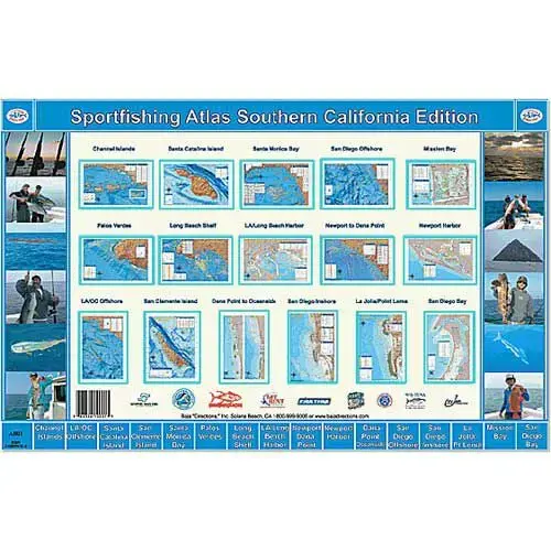
BAJA DIRECTIONS Sportfishing Atlas, Southern California Edition
Item #: A001 by BAJA DIRECTIONS
Brand: BAJA DIRECTIONS
See reviews
30 Days Easy Return. We are the largest supplier of the most adaptable, personalized hardware in the industry. We work hard to ensure you're satisfied with our products.
WARNING: This Product May Contain Chemicals Known to the State of California to Cause Cancer or Reproductive Harm. To Learn More Visit P65Warnings.ca.gov
Features
Features
Spiral Bound , Waterproof Paper
Cartography
Southern California
Product Overview
With over 700 fishing locations and 1000 GPS coordinates packed into 16 spiral bound pages of the finest fishing charts ever made for Southern California waters, this atlas is a must-have for the fishing and boating enthusiast. The atlas is designed in the same proportions as our popular laminated charts, yet contains 16 full color charts printed on the same waterproof, tear-resistant synthetic paper that has made our folded charts a staple in tackle shops and tackle boxes alike. Featured are all of our current Southern California Series of charts, as well as eight new charts that are making their debut in the atlas. All charts are designed by local fishermen utilizing the very latest in mapping technology, while consulting with leading experts in the sportfishing industry to ensure accurate information. The result is a precise and useful tool that gives the ability to not only pinpoint popular fishing spots, but also find new spots with our unique hard-bottom and kelp bed information. All of our spatial information comes from leading scientific government sources, ensuring that our maps are more detailed and cutting edge than any chart out there, including NOAA charts found in chart plotters.
Questions & Answers
Product Reviews