RECENTLY VIEWED
Skip to main content

DK Hardware Professional Tax Exempt? Net 30? - DK Net Terms
Roll over image to zoom in
30 Days Easy Return. We are the largest supplier of the most adaptable, personalized hardware in the industry. We work hard to ensure you're satisfied with our products.
WARNING: This Product May Contain Chemicals Known to the State of California to Cause Cancer or Reproductive Harm. To Learn More Visit P65Warnings.ca.gov
Features
Card Type
C-Map
Cartography
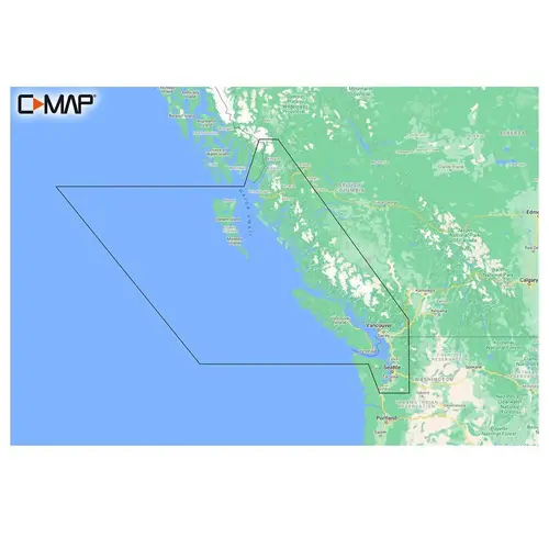
British Columbia and Puget Sound
Product Overview
Cruising, fishing or sailing, C-MAP REVEAL Lakes charts offer the very best of C-MAP. With Shaded Relief, including game-changing Reveal Seafloor Imagery, Aerial Photography and Satellite Overlay presentation added to the core C-MAP features found in DISCOVER full-featured Vector Charts, with Custom Depth Shading and subscription-free Easy Routing . It also includes the very best of C-MAP High-Res Bathy, including integrated Genesis data. Purchase includes a full 12 months of online updates. Compatible with Lowrance, Simrad & B&G Chartplotters. Shaded Relief bring the world around you to life, with 3D rendered land and underwater elevation including areas of Ultra-High-Res Bathymetric imagery a game-changer for anglers and divers. Full-Featured Vector Charts making navigation easy by giving you accurate, up-to-date vector chart detail derived from official Hydrographic Office information. High-Res Bathy helps you identify shallow areas, drop-offs, ledges, holes or humps. Now includes compiled and quality-controlled Genesis detail as part of singular HRB layer. Custom Depth Shading set a clear safety depth, maintain a paper-like view or create your own custom shading. Aerial Photography a collection of thousands of photos of marinas, harbors, inlets and other notable navigational features included to offer an additional level of detail.