RECENTLY VIEWED
Skip to main content

DK Hardware Professional Tax Exempt? Net 30? - DK Net Terms
Roll over image to zoom in
30 Days Easy Return. We are the largest supplier of the most adaptable, personalized hardware in the industry. We work hard to ensure you're satisfied with our products.
WARNING: This Product May Contain Chemicals Known to the State of California to Cause Cancer or Reproductive Harm. To Learn More Visit P65Warnings.ca.gov
Features
- Full-Feature Vector Charts: Toggle different views on and off to see animated tidal streams, currents and flows on your map. When planning your trip, check out the tidal heights so you won t be caught off-guard by sudden changes. Dynamic navigational aids give you the tools you need to plan and master your route.
- Raster Charts: With the look of a traditional paper chart, you ll get excellent zoom capabilities, local buoy information on your screen, lights and many other surrounding details.
- Base Cartography: Use the standard C-MAP base cartography for any of those areas just off the edge of your detailed charts.
- A New Perspective: Depths and land elevation, photos, diagrams and bird's eye view perspective options let you choose your view.
- More than Maps: View coastal roads and Points of Interest such as restaurants, museums, local services and cultural highlights. Let C-MAP keep you aware of Marine Protected areas and regulations.
- C-Marina Port Database: Get detailed marina port plans and harbor charts so docking is a breeze even on your first visit!
- Guardian Alarm: Keep safety in mind, but rest easy with Guardian Alarm settings that will let you know about rocks, obstructions, shallow depths and other navigation hazards.
- Route-Check: This feature combined with guardian alarm will check the safety of you path between waypoints.
- One Year of Updates: Crowd sourced and directly from C-MAP trusted sources, these daily updates will give you the confidence to navigate unfamiliar waters. The first year s on us!
Type
Electronic Charts
Card Type
C-Map MAX-N+
Cartography
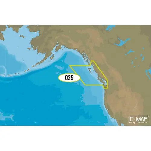
Canada West , Puget Sound
Product Overview
With C-MAP s detailed cartography and extensive database of local information at your fingertips you ll never be lost, even in unfamiliar waters. Dominate the water with C-MAP s full dynamic charts, harbor and approach details, tide and current tools, and more. Full-Feature Vector Charts give you tools like tidal streams, detailed roads, and accurate marina plans, giving you the utmost situational awareness in your covered area. Dynamic Raster Charts can be viewed in combination with the vector charts to give you the best possible view of your area at any scale. High-Resolution Satellite Imagery gives you a high-quality view of your surroundings and a top-down perspective. High-Definition Aerial Photography will ensure you get the best view of where you are and where you re going even in sub-optimal conditions. Expandability is built-in to these cards via Value Added Data Segments (sold separately) so that when you need that extra local detail, adding it to the charts you already use is hassle-free. One Free Year of daily updates means you will have the most accurate, up-to-date information available, keeping you and your crew safe out on the water. Coverage