RECENTLY VIEWED
Skip to main content

DK Hardware Professional Tax Exempt? Net 30? - DK Net Terms
Roll over image to zoom in
Product Overview
Related Videos
Reviews
Questions & Answers
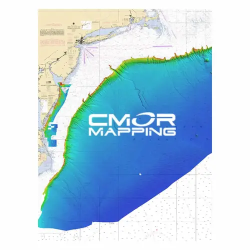
CMOR MAPPING MIDA001R MIDA001R - Mid Atlantic Electronic Chart, for Raymarine
Item #: MIDA001R by CMOR MAPPING
Brand: CMOR MAPPING
See reviewsSee reviews
30 Days Easy Return. We are the largest supplier of the most adaptable, personalized hardware in the industry. We work hard to ensure you're satisfied with our products.
WARNING: This Product May Contain Chemicals Known to the State of California to Cause Cancer or Reproductive Harm. To Learn More Visit P65Warnings.ca.gov
Product Overview
The Mid-Atlantic 3D Relief Shading CMOR Card features some of the best fishing spots and wrecks in the Mid Atlantic with coverage starting nearshore to 20+ miles offshore, from Delaware Bay south to Virginia Beach & the NE canyons from North Carolina through Maine. Explore countless wrecks with detail like never before, drop or troll in a variety of depths, and finally pinpoint and hook that elusive species you have been waiting to box. Whether you are looking for quick hits with our nearshore data or cruising out to catch some serious wreck fish, this is the card for you! COVERAGE DETAILS