RECENTLY VIEWED
Skip to main content

DK Hardware Professional Tax Exempt? Net 30? - DK Net Terms
Roll over image to zoom in
Product Features
Product Overview
Related Videos
Reviews
Questions & Answers
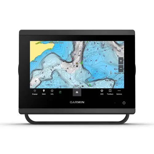
Garmin International 010-02366-60 GPSMAP 943 Multifunction Display with US and Canada Navionics+ Charts, Non-Sonar Color
Item #: 010-02366-60 by Garmin International
Brand: Garmin International
UPC #: 753759285531
See reviewsSee reviews
30 Days Easy Return. We are the largest supplier of the most adaptable, personalized hardware in the industry. We work hard to ensure you're satisfied with our products.
WARNING: This Product May Contain Chemicals Known to the State of California to Cause Cancer or Reproductive Harm. To Learn More Visit P65Warnings.ca.gov
Features
Dimensions
9.2" x 6.4" x 3"
Warranty
Two Tears
Antenna
Internal GPS Antenna
Display Size
7.8" x 4.4"
Mount Type
Flush, Tilt, Surface
Display Color
Color
Cartography
US and Canada Navionics+
Diagonal Screen Size
9 Inches
Display Shape
Horizontal
Transducer Included
Not IIncluded
Product Overview
Get a sharper view from your connected helm with the GPSMAP 943 chartplotter. Its higher-resolution 9" in-plane switching display has 50% more pixels than previous-generation chartplotters. The ultrasleek design and nearly double the processing power of previous-generation GPSMAP devices offer seamless integration into your Garmin marine system. Preloaded Garmin Navionics+ coastal charts and inland mapping feature Auto Guidance+ technology (Auto Guidance+ is for planning purposes only and does not replace safe navigation operations) for helping you get where you need to go. Plus, there s support for optional Garmin Navionics Vision+ premium map content. Easily build your marine system from compatible sonar and autopilots to compatible radar, cameras and multimedia by using HTML 5.0, NMEA 2000 and NMEA 0183 networking, J1939 for engines and the Garmin Marine Network. Add FrontV forward-looking sonar (sold separately) for help in avoiding underwater obstructions ahead. Or pair your plotter with your other compatible Garmin devices, such as quatix smartwatches, wind transducers, wireless remote controls and more. KeyFeatures In the Box: