RECENTLY VIEWED
Skip to main content

DK Hardware Professional Tax Exempt? Net 30? - DK Net Terms
Roll over image to zoom in
Product Features
Product Overview
Related Videos
Reviews
Questions & Answers
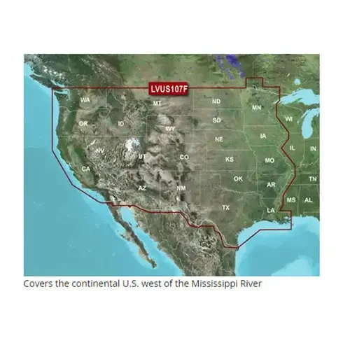
Garmin International 010-C1205-00 U.S. LakeVu g3 Ultra West
Item #: 010-C1205-00 by Garmin International
Brand: Garmin International
See reviewsSee reviews
30 Days Easy Return. We are the largest supplier of the most adaptable, personalized hardware in the industry. We work hard to ensure you're satisfied with our products.
WARNING: This Product May Contain Chemicals Known to the State of California to Cause Cancer or Reproductive Harm. To Learn More Visit P65Warnings.ca.gov
Features
Type
Electronic Charts
Card Type
BlueChart
Cartography
U.S. LakeVü g3 Ultra West
Product Overview
Experience unparalleled coverage and brilliant detail on the water. LakeV g3 Ultra inland water maps provide industry-leading coverage, clarity and detail with integrated Garmin and Navionics data, Auto Guidance technology 1; and high-resolution relief shading. Auto Guidance TechnologyThe Auto Guidance feature 1; uses your desired depth and overhead clearance to calculate a route and suggest a path to follow. Complete Sonar Support High-resolution Relief Shading FeatureHigh-resolution relief shading combines color and shadow to give you an easy-to-interpret, clearer view of bottom structure than contour lines alone. Depth Range ShadingThis feature provides up to 10 depth ranges, enabling you to view your target depth at a glance. Shallow Water ShadingThis feature allows you to use shading to designate the shallow water depths you need to avoid. Dynamic Lake LevelYou can adjust your maps to the lake s current water level to have a better idea of spots that are either accessible or too shallow to explore. Unique 3-D ViewsMarinerEye and FishEye views provide additional perspective both above and below the water line.