RECENTLY VIEWED
Skip to main content

DK Hardware Professional Tax Exempt? Net 30? - DK Net Terms
Roll over image to zoom in
Product Features
Product Overview
Related Videos
Reviews
Questions & Answers
See reviewsSee reviews
30 Days Easy Return. We are the largest supplier of the most adaptable, personalized hardware in the industry. We work hard to ensure you're satisfied with our products.
WARNING: This Product May Contain Chemicals Known to the State of California to Cause Cancer or Reproductive Harm. To Learn More Visit P65Warnings.ca.gov
Features
- Magnetic courses for your compass
- 22"x 17" spiral bounded charts in full-color
- Fully referenced geographic and alphabetical indexes
- Waypoints and lat/lon grids for your GPS
- Companion CD for your computer
- Aerial photos of harbors and anchorages in popular destinations
- Multiple chart scales
- Courses and distances
Features
Waterproof , Spiral Bound
Region
Pacific Coast
Product Overview
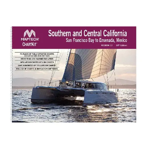
MapTech s ChartKit is a conveniently packaged primary or secondary navigation reference at an affordable price. Full-color reproductions of the National Oceanic and Atmospheric Administration s (NOAA) cruising charts, the ChartKit is easy-to-use with abundant features. Constructed from waterproof, tear-resistant synthetic paper that will withstand the elements, this compact chart book is spiral bounded and organized by cruising region, ideal for day sailors, fishing boats and trailer boats. Kits include pre-plotted waypoints and latitude/longitude grids for your GPS along with detailed coverage of popular areas. A companion CD is included with each kit featuring exact duplicates of the ChartKit pages and Offshore Navigator Lite" GPS positioning software (not all ChartKits include CD). This software offers data windows to display key GPS data such as Course Over Ground (COG) and Speed Over Ground (SOG) while instantly calculating course information such as Cross-Track error, range and bearing to the next waypoint. Real time positioning allows you to connect your GPS to your computer via USB to see your position right on the chart. Transfer waypoints from your computer to your GPS so you don t have to key in your waypoints one by one. Ditch the hassle of individual paper charts and enjoy the ease of having them all in one, conveniently packaged, reliable place.