RECENTLY VIEWED
Skip to main content

DK Hardware Professional Tax Exempt? Net 30? - DK Net Terms
Roll over image to zoom in
30 Days Easy Return. We are the largest supplier of the most adaptable, personalized hardware in the industry. We work hard to ensure you're satisfied with our products.
WARNING: This Product May Contain Chemicals Known to the State of California to Cause Cancer or Reproductive Harm. To Learn More Visit P65Warnings.ca.gov
Features
Width
5.25 Inch
Weight
0.1 Ounce
Length
6.75 Inch
Height
0.5 Inch
Product Overview
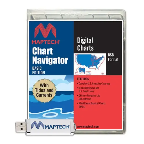
MAPTECH SWCNBWMDS U.S. Boating Charts with Tides and Currents USB Flash Drive Chart Navigator Basic Software. TIRED OF DOWNLOADING NOAA CHARTS? There is a better way, and tides and currents data is included with the charts. The easy-to-load U.S. Boating Charts with Tides and Currents USB Flash Drive has more than 2,200 up-to-date NOAA nautical charts and insets and more than 750 river charts from the U.S. Army Corp of Engineers. It comes with GPS real-time navigation software and U.S. Tides and Currents. The Flash Drive contains complete data for the U.S. and graphically shows the current state of the tides and currents by specific station. Click to Create Routes: Maptech's "Offshore Navigator Lite" navigation software is included. Click your mouse to put a waypoint on a chart. Click again, and you're creating a route. It's that easy. Distances, bearings and GPS positions are calculated and displayed instantly. Print Your Own Charts: Print your own customized GPS waypoints, route plans and chart segments. GPS Positioning Rollover: Connect a GPS to your laptop and see your real-time position on the computer screen. Real-time positioning requires connecting an industry-standard NMEA 0183 GPS to your PC GPS Ready. The U.S. Boating Charts with Tides & Currents includes Maptech's "Offshore Navigator Lite" GPS positioning software. Connect a USB GPS to your PC to see your position right on the chart. As you move the vessel icon moves. Data Windows display key GPS data such as Lat/Lon, COG, and SOG. They also instantly calculate course information such as Cross-Track Error and Range and Bearing to the next waypoint.