RECENTLY VIEWED
Skip to main content

DK Hardware Professional Tax Exempt? Net 30? - DK Net Terms
Roll over image to zoom in
30 Days Easy Return. We are the largest supplier of the most adaptable, personalized hardware in the industry. We work hard to ensure you're satisfied with our products.
WARNING: This Product May Contain Chemicals Known to the State of California to Cause Cancer or Reproductive Harm. To Learn More Visit P65Warnings.ca.gov
Features
Width
12.6 Inch
Length
18.0 Inch
Height
0.25 Inch
Product Overview
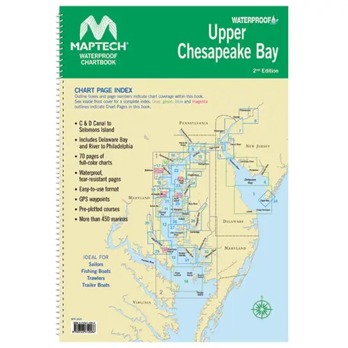
MAPTECH WPB0430-02WMDS Waterproof Chartbook Upper Chesapeake Bay, 2nd Edition Waterproof Chartbook Upper Chesapeake Bay, 2nd Edition. Covers C&D Canal to Solomons Island and includes Delaware Bay and River to Philadelphia. Offers full-color charts on waterproof, tear-resistant pages. Easy-to-use format includes GPS waypoints, pre-plotted courses and more than 450 marinas. 70 Pages. Spiral Bound. 12" X 17".