RECENTLY VIEWED
Skip to main content

DK Hardware Professional Tax Exempt? Net 30? - DK Net Terms
Roll over image to zoom in
30 Days Easy Return. We are the largest supplier of the most adaptable, personalized hardware in the industry. We work hard to ensure you're satisfied with our products.
WARNING: This Product May Contain Chemicals Known to the State of California to Cause Cancer or Reproductive Harm. To Learn More Visit P65Warnings.ca.gov
Features
Height
0.25 Inch
Length
12.0 Inch
Width
6 Inch
Scale
1:51282
Product Overview
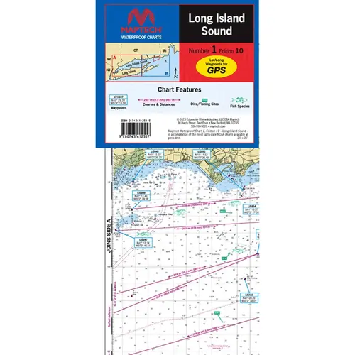
MAPTECH WPC001-10WMDS Waterproof Chart Long Island Sound, 10th Edition WPC001 Waterproof Chart Long Island Sound, 10th Edition. Throgs Neck, NY to Guilford, CT/Riverhead, NY. Only chart of the entire Sound! Featuring GPS waypoints, courses and distances, wreck sites, ramp locations, fishing spots and fish species. 36" x 48", scale 114,286, with detailed Fishers Island Sound Inset, scale 1:51,282. User Friendly Flip-Fold Format. Printed on high-quality, waterproof, tear-resistant paper