RECENTLY VIEWED
Skip to main content

DK Hardware Professional Tax Exempt? Net 30? - DK Net Terms
Roll over image to zoom in
Product Features
Product Overview
Related Videos
Reviews
Questions & Answers
See reviewsSee reviews
30 Days Easy Return. We are the largest supplier of the most adaptable, personalized hardware in the industry. We work hard to ensure you're satisfied with our products.
WARNING: This Product May Contain Chemicals Known to the State of California to Cause Cancer or Reproductive Harm. To Learn More Visit P65Warnings.ca.gov
Features
Region
Gulf Coast
Scale
1:40000
Cartography
Sabine and Neches Rivers
States
Louisiana , Texas
Product Overview
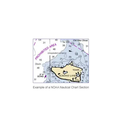
NOAA Lithographic Nautical ChartsFor the last 150 years, the federal government produced nautical charts using lithographic printing presses. Although chart-making techniques advanced from the 19th century s delicate hand-applied etchings on copper plates to a process that is now completely computer-based, the system remained based on printing large volumes of charts, then selling them from stock for years. Charts for sale were gradually more and more outdated until a new edition was printed. NOAA discontinued production of Lithographic Nautical Charts this spring. These are our last remaining stock of traditionally-printed charts. The print on demand system allows the changes made by Coast Survey cartographers to reach mariners much faster. We have Print-On-Demand charts from OCEANGRAFIX.The paper charts sold by the NOAA-certified printing agents meet carriage requirements for ships covered by Safety of Life at Sea regulations, specified in Title 33 of the Code of Federal Regulations.April, 2014 Select an area to view: Atlantic Coast Gulf Coast Pacific Coast Alaska Great Lakes